Agriculture Services
In recent years, the agricultural industry has undergone a remarkable transformation, thanks in large part to advancements in drone technology. Drones, equipped with sophisticated sensors and imaging capabilities, are revolutionizing farming practices by providing farmers with invaluable insights into crop health, soil conditions, and field management. Below, we explore ways in which drone scans are being used in agriculture to improve efficiency, productivity, and sustainability.
Precision Farming and Crop Monitoring
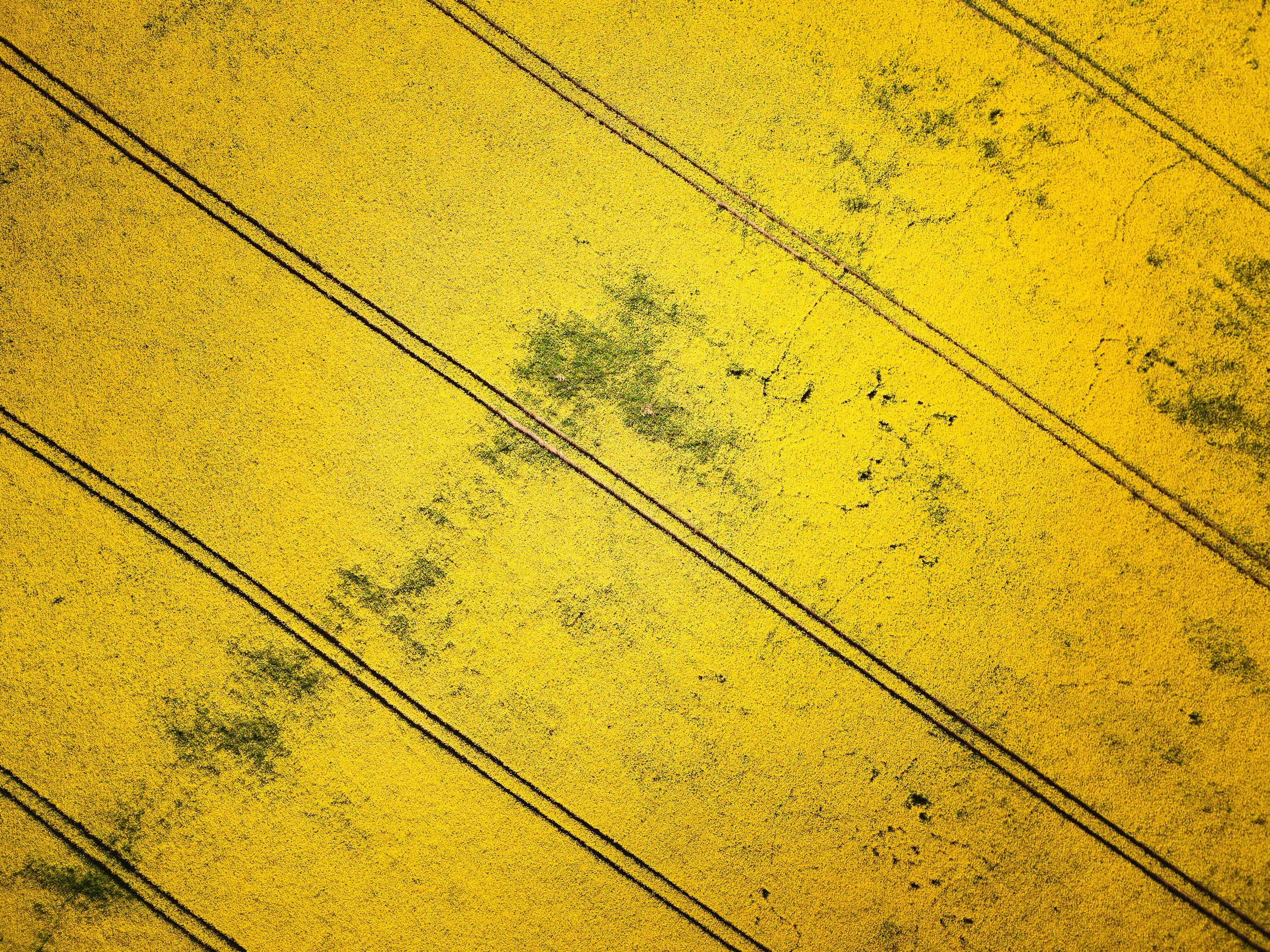
One of the most significant applications of drone scans in agriculture is precision farming and crop monitoring. Drones equipped with multispectral or hyperspectral cameras can capture detailed images of crops, allowing farmers to assess plant health, detect early signs of stress or disease, and optimize irrigation and fertilization practices. By analyzing the data collected from drone scans, farmers can make informed decisions about crop management, resulting in higher yields, improved quality, and reduced resource inputs.
Yield Estimation and Harvest Planning
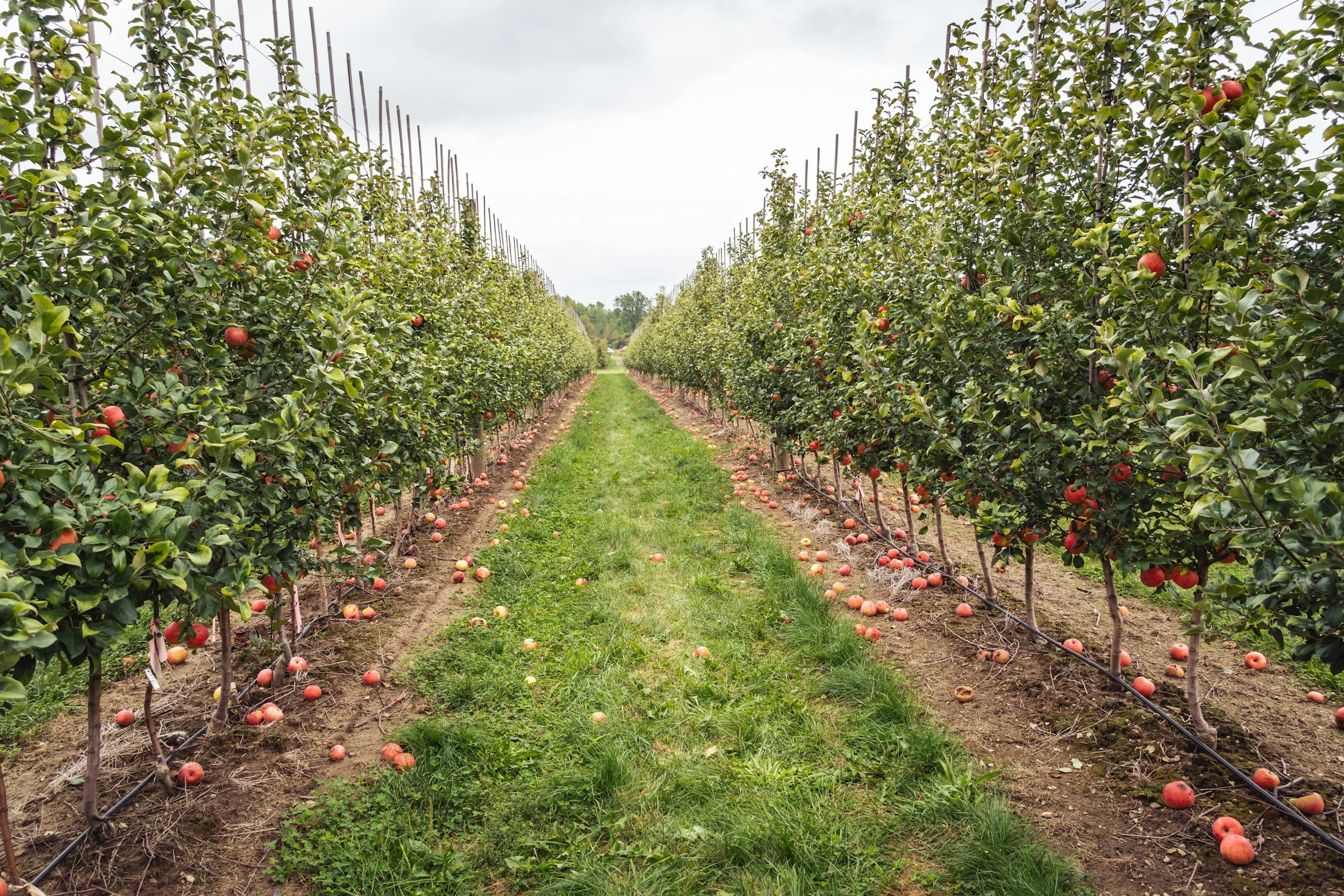
By conducting aerial surveys of their fields, farmers can use drone scans to estimate crop yields and plan harvest operations more effectively. Drones equipped with high-resolution cameras can capture detailed images of crop canopies, allowing farmers to assess plant density, canopy cover, and fruiting patterns. This data enables farmers to make informed decisions about harvest timing, equipment allocation, and storage capacity, ensuring efficient and timely crop harvesting.
Environmental Monitoring and Conservation
Drones are also instrumental in environmental monitoring and conservation efforts in agriculture. By conducting aerial surveys of natural habitats, waterways, and sensitive ecosystems, drones can help farmers identify areas of conservation concern, assess habitat quality, and monitor wildlife populations. Additionally, drones can be used to monitor soil erosion, water runoff, and chemical runoff from agricultural fields, facilitating sustainable land management practices and minimizing environmental impacts.
Field Mapping and Analysis
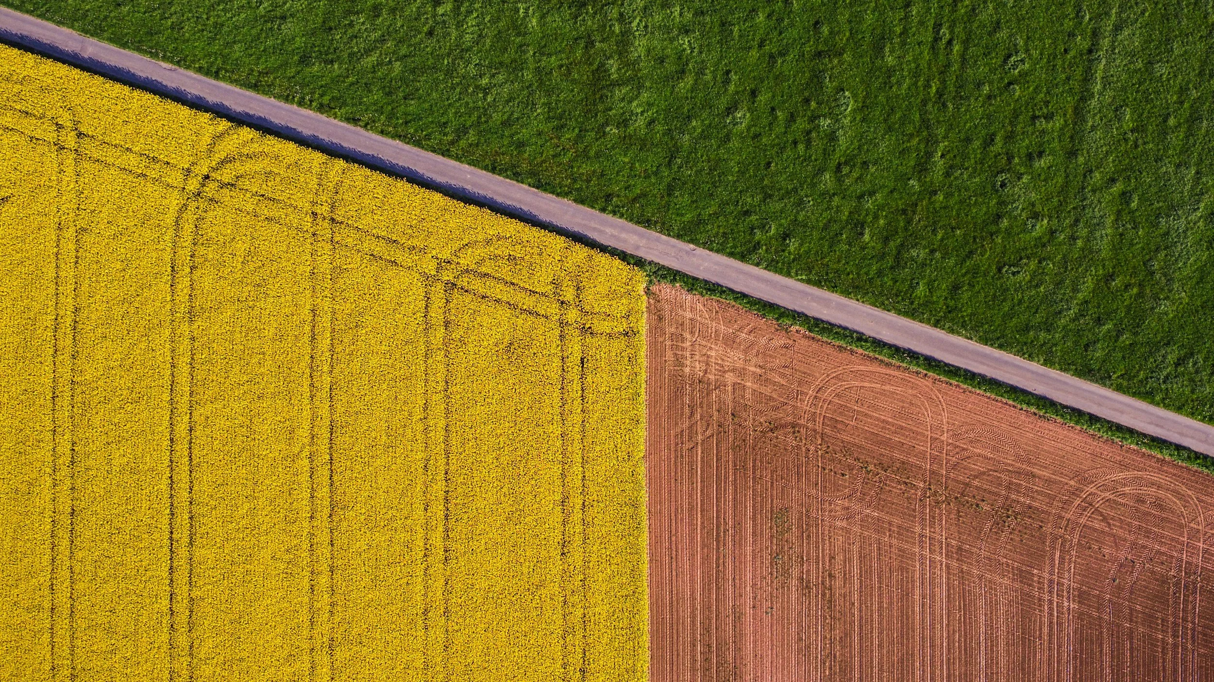
Drones play a crucial role in field mapping and analysis, enabling farmers to create detailed maps of their fields with unprecedented accuracy and resolution. Using drones equipped with LiDAR (Light Detection and Ranging) or photogrammetry technology, farmers can generate 3D models of their fields, identify terrain features, and measure elevation variations. This information helps farmers optimize field layout, plan drainage systems, and assess soil erosion, ultimately enhancing land management practices and maximizing crop productivity.
Crop Health Assessment and Pest Detection
Drone scans provide farmers with real-time insights into crop health and pest infestations, allowing for timely interventions to protect crops and minimize yield losses. Thermal imaging sensors mounted on drones can detect variations in crop temperatures, indicating stress or disease. Additionally, drones equipped with specialized software can analyze crop images to identify pests, weeds, or nutrient deficiencies, enabling farmers to target treatment areas accurately and reduce the use of chemical inputs.